Hiking Tre Cime di Lavaredo is definitely one of the top things to do in the Dolomites! Tre Cime di Lavaredo is a group of mountains in South Tyrol, Italy, that is most famous for its 3 massive and dramatic peaks, which the hike encircles. Interestingly enough, the well-known Tre Cime di Lavaredo even served as part of the border between Austria and Italy until 1919!
The loop trail around Tre Cime di Lavaredo is suitable for families and most levels of fitness; therefore, it makes for a great day hike. Along the way, you’ll find sweeping views, wildflowers, and adorable rifugios to stop into, so definitely add this to your Dolomites itinerary!
Below you’ll find all the details you need to plan a great hike at Tre Cime di Lavaredo.
Tre Cime di Lavaredo hike details
| Distance | 10 km (6 mi) |
| Elevation gain | 400 m |
| Time | 3 – 4 hours |
| Difficulty | Easy |
| Trailhead | Rifugio Auronzo |
| UNESCO Status | Yes |
| Entrance fee | Free |
Tre Cime di Lavaredo Hiking Route

The Tre Cime di Lavaredo hike consists of a 10 km (6 mi) loop trail around the 3 peaks. Since the route is predominantly flat and the trail is in good condition, the entire hike is pretty easy.
Rifugio Auronzo to Rifugio Lavaredo

The trail for hiking Tre Cime di Lavaredo begins at Rifugio Auronzo, where you can park for 30 euros. From here, it’s best to take the route counterclockwise because it will give you the best view of the 3 peaks throughout your hike.
The first section of the hike is a wide, flat trail that leads from Rifugio Auronzo to Rifugio Lavaredo. In this first part, you are welcomed by the massive presence of the peaks, wildflowers, and beautiful views of the surrounding valleys and mountains. This first stretch takes about 30 minutes.
Note: while on the hike, you’ll encounter a series of rifugios, which are “refuges” that you can pop into to grab something to eat or a beer along the hike.
Rifugio Lavaredo to Forcella Lavaredo

Then, from Rifugio Lavaredo, there are a couple of route options to take to continue onto Forcella Lavaredo. Certainly, either route won’t take more than 15-20 minutes. The route directly in front of Rifugio Lavaredo is slightly steeper and narrower, but is a little shorter. To take this route, once you see Rifugio Lavaredo, take a left to climb up.
We opted for the slightly longer but wider and flatter route. To take this route, continue straight past Rifugio Lavaredo on the path you started on, and it will loop you around to the same place. While we were on this path, we found our favorite place to photograph (here) due to its dramatic angle of the three peaks!
Once you reach Forcella Lavaredo, you’ll be met with panoramic views that will take your breath away. These views are even more beautiful than pictures can depict, so make sure to pause here to take it all in.
Tip: If you think the whole hike is too much or you’re short on time, you certainly can just hike to Forcella Lavaredo and turn back around to retrace your steps! You will still get to admire the beauty, and the hike will take you 1.5 hours round-trip this way.
Forcella Lavaredo to Rifugio Locatelli
After you snap a few photos at Forcella Lavaredo, continue on trail 101 for about 40 minutes to Rifugio Locatelli, which is the halfway point of the hike. While you’re on your way to Rifugio Locatelli, you’ll have incredible views of the valley and the front of Tre Cime.
Rifugio Locatelli to Rifugio Auronzo

Then, from Rifugio Locatelli, continue on the path through the valley in front of Tre Cime back to Rifugio Auronzo. Since this part takes about 2 hours, it’s certainly the longest stretch of the hike. However, you can rest halfway at Malga Langalm, and if you visit in the summer, the valley will have beautiful wildflowers to admire, too!
The trail conveniently ends at the parking lot where you started, so if you parked here, you can just hop into the car and be on your way.
How to get to Tre Cime di Lavaredo
You can get to Tre Cime di Lavaredo by heading to Rifugio Auronzo via car or bus.
By car
Getting to Tre Cime di Lavaredo by car is pretty straightforward as long as you just follow Google Maps to Rifugio Auronzo. The route will take you through the nearest town, Misurina, where you will then get on a toll road (SP49). The toll road costs 30 euros; however, rest assured that the price includes parking at the trailhead.
Since entrance to the toll road can get backed up during peak season and the parking lot can fill up, we highly suggest going before 9 or 10 am.
Also, note that the road is open seasonally from late May to October, and the toll booth to enter is only open from 7 or 8 am to 5 pm (you can exit at any time). You can check the most recent information about the toll road here.
Here are some of the driving times to Rifugio Auronzo from popular areas to use as a home base in the Dolomites:
- Cortina d’Ampezzo: 40 minutes
- Corvara: 1.5 hours
- Bolzano: 2.5 hours
By public transportation
To get to Rifugio Auronzo via public transportation, you can take bus 30 from Cortina d’Ampezzo and then transfer to bus 31. This route takes about 90 minutes, and you can find the bus directions on Google Maps.
Alternatively, you can get a train or bus from surrounding cities to Dobbiaco, which is also called “Toblach”. Then, from the bus station there you can catch the “Three peaks shuttle” for 8 euros per person.
Also, note that this shuttle is only available from mid-June to mid-October. Refer to the official site for the latest shuttle prices and current timetables.
Parking at Rifugio Auronzo
You can park in the lot in front of Rifugio Auronzo after you pay your 30 euro toll and drive on SP49 for about 20 minutes. Although there are many parking spaces, this lot can certainly fill up during peak season. For this reason, we’d suggest going early to make sure you can get a parking spot.
Where to stay near Tre Cime
Cortina d’Ampezzo is the best area to stay in near Tre Cime since it’s only a 40-minute drive from the trailhead. Here are a few accommodation options in the area:
If you’re exploring a large part of the Dolomiti region, Corvara and Bolzano are also great options for a central home base.
Best time to hike the Tre Cime loop
The best time for hiking Tre Cime di Lavaredo is between June and September because of the weather, wildflowers, and accessibility. The region is most popular during July and August, so you may want to consider late June or September to avoid the crowds.
Additionally, if you’re using public transportation to get to Tre Cime, remember that some options only run seasonally.
What to bring with you to hike Tre Cime di Lavaredo
- Proper shoes – Even though the hike is easy, you definitely need to wear either athletic shoes or hiking boots.
- Water – Since you’ll be hiking for 3-4 hours, make sure to bring enough water.
- Jacket – since the temperature can vary along the hike and the wind can pick up at different parts, too, bring a light jacket or windbreaker with you.
- Sunscreen – even if it’s overcast, the sun can be strong at this elevation, so don’t forget sunscreen.
- Camera – certainly, there are tons of places to snap pictures of along this hike, so pack your camera. To see all the gear we hike and travel with, check out our Photography Gear!
Other nearby attractions in the Dolomites
Here are a few more must-see places in the Dolomites that are within an hour’s drive of Tre Cime:
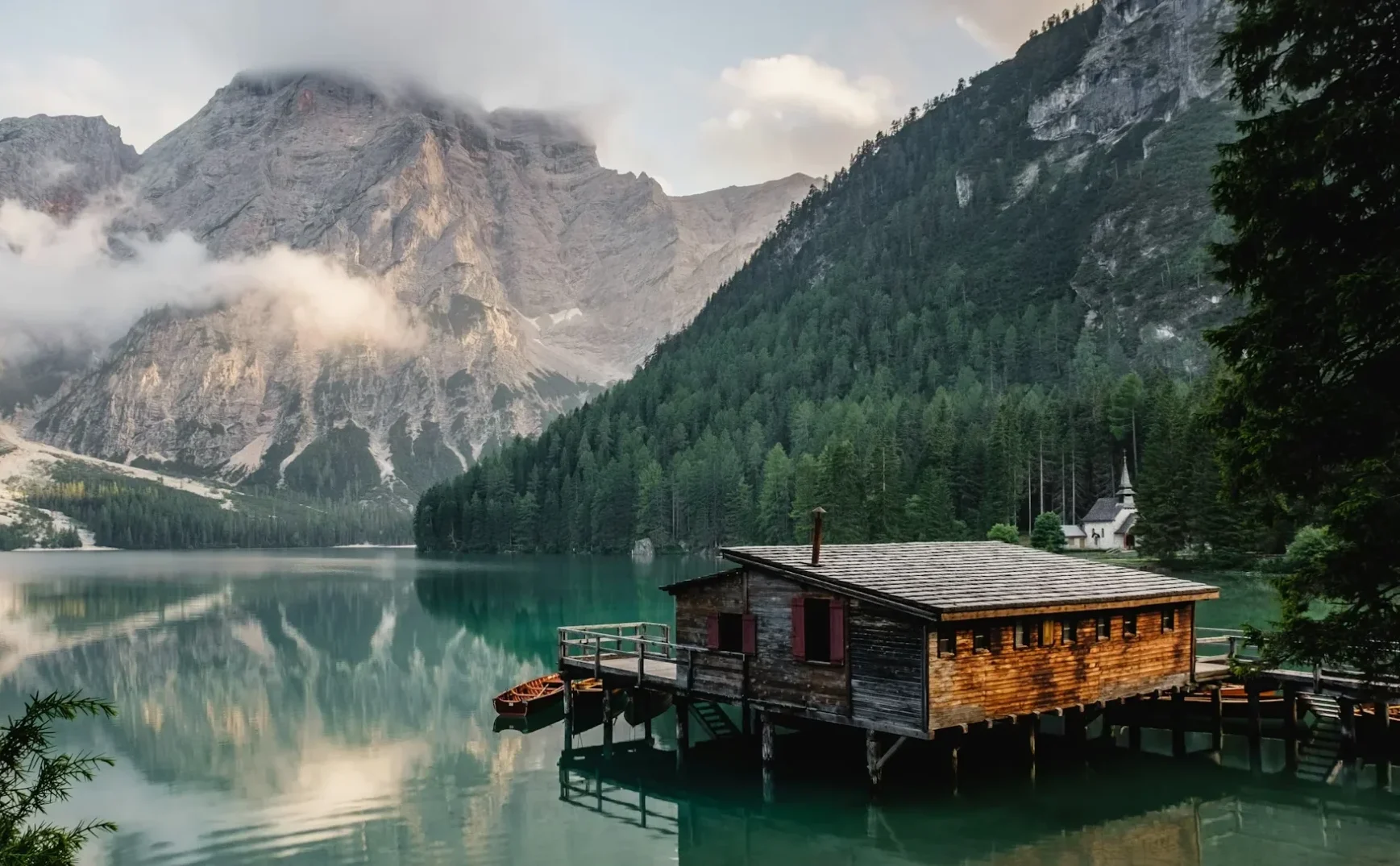
- Lago di Braies (Pragser Wildsee) – an absolute must in the Dolomites! Read everything you need to know before you visit here!
- Lago di Landro (Durrensee)
- Lago di Dobbiaco (Toblacher See)
Make sure to read all about the 8 MUST-SEE places in the Dolomites here!